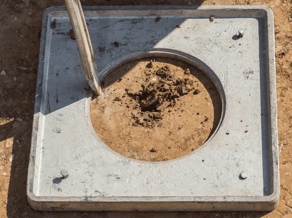
Blenheim sits on the deep alluvial gravels and silts of the Wairau Plain, with groundwater often just 1.5 to 2.0 metres below the surface. The 2016 Kaikōura earthquake was a stark reminder that distance doesn't guarantee safety—Marlborough felt prolonged shaking, and liquefaction ejecta appeared as far north as the Wairau River mouth. Our team has worked on post-quake rebuilds and greenfield subdivisions throughout the region, and the pattern we see is consistent: loose, saturated fine sands and low-plasticity silts that can lose strength in seconds. A proper soil liquefaction analysis here isn't a box-ticking exercise. It defines whether your foundation needs ground improvement, deep piles, or if the site is better suited to a lighter structural system. We apply the NZGS Module 4 framework, combined with CPT testing to capture continuous soil behaviour, rather than relying on SPT data alone in these variable deposits.
Liquefaction on the Wairau Plain is a shallow phenomenon—we rarely see it deeper than 8 metres, but the settlement can exceed 100 mm if not addressed at design stage.