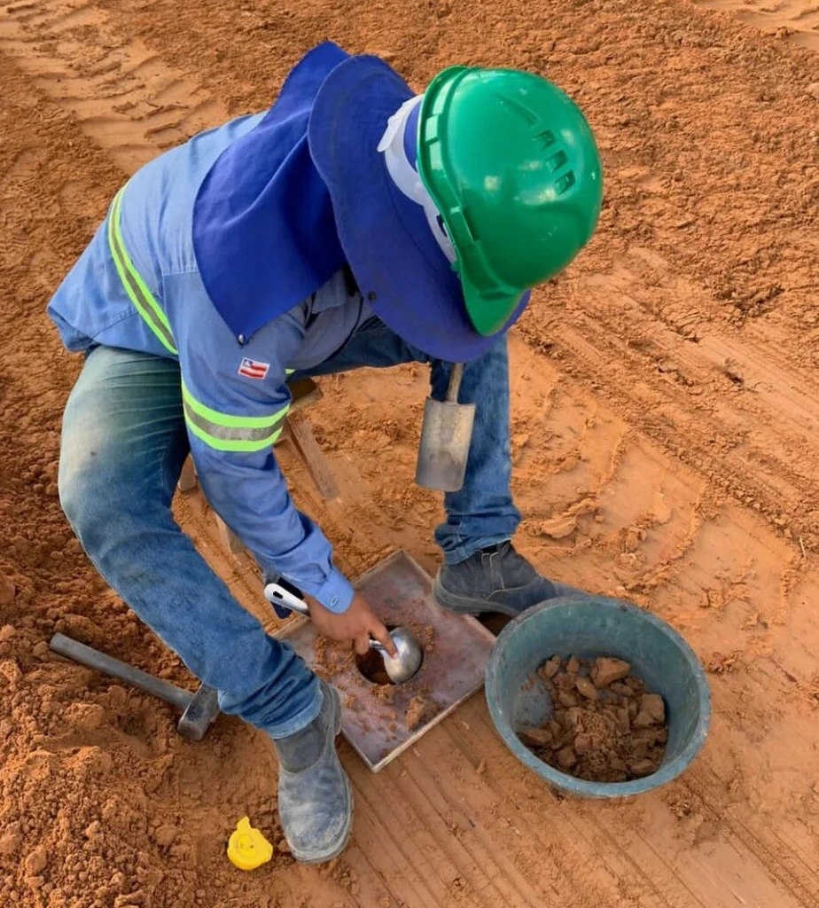
Blenheim sits on the deep alluvial gravels of the Wairau Plain, shaped by centuries of river deposition from the Wairau and Ōpaoa rivers. The gravel matrix, mixed with silty lenses, makes compaction verification on every earthworks job a non-negotiable. We run field density tests across town—from Redwoodtown subdivisions to winery expansions near Renwick—because the difference between 95% and 98% modified Proctor density determines whether a pad stays flat or settles unevenly after the first Marlborough winter. Our sand cone equipment, calibrated to NZS 4402 Test 5.1, gives us a direct volume measurement that nuclear gauges sometimes miss in these coarse, angular gravels. When the site stratigraphy throws surprises, we pair the density check with a Proctor test to confirm the reference curve matches the actual fill material being placed.
In Blenheim's coarse river gravels, the sand cone method delivers a direct density measurement that nuclear gauges can misread by 3–5% due to angular particle interference.