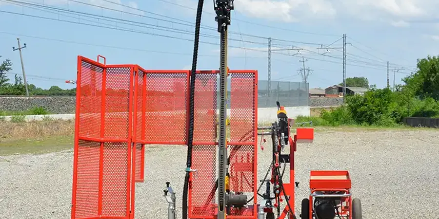
Blenheim's growth from a small river settlement to Marlborough's main urban centre has always been tied to the gravels and silts beneath it. The Wairau River built this plain over millennia, depositing layered alluvium that now supports everything from vineyards to multi-storey structures on Seymour Street. That same depositional history also means the ground can shift from dense gravels to loose silty sands in less than 20 metres horizontally. A CPT test picks up those transitions with near-continuous profiling, but when contractors and geotechnical engineers need a direct look at soil resistance and a disturbed sample in hand, the Standard Penetration Test remains the practical standard across Blenheim. The local water table sits high across much of the plain—often within 2 metres of the surface—so understanding how saturated fine sands behave under load is not optional. We run SPT rigs across Marlborough from Riverlands to Springlands, correlating N-values with the NZGS soil classification system so that foundation recommendations actually reflect what the ground will do, not just what a borelog says on paper.
An N-value shift from 8 to 28 across a single metre in Blenheim alluvium changes the entire foundation strategy—from deep piles to a stiffened raft.